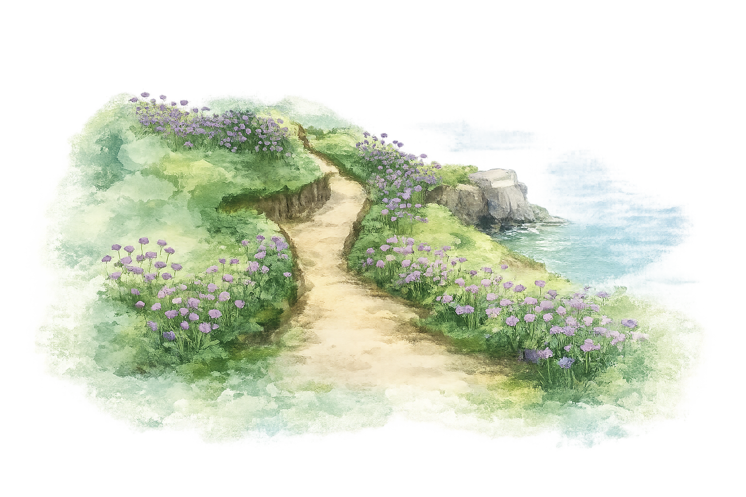
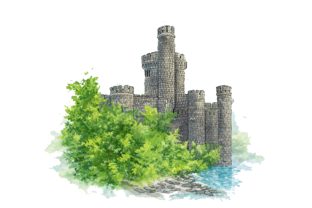
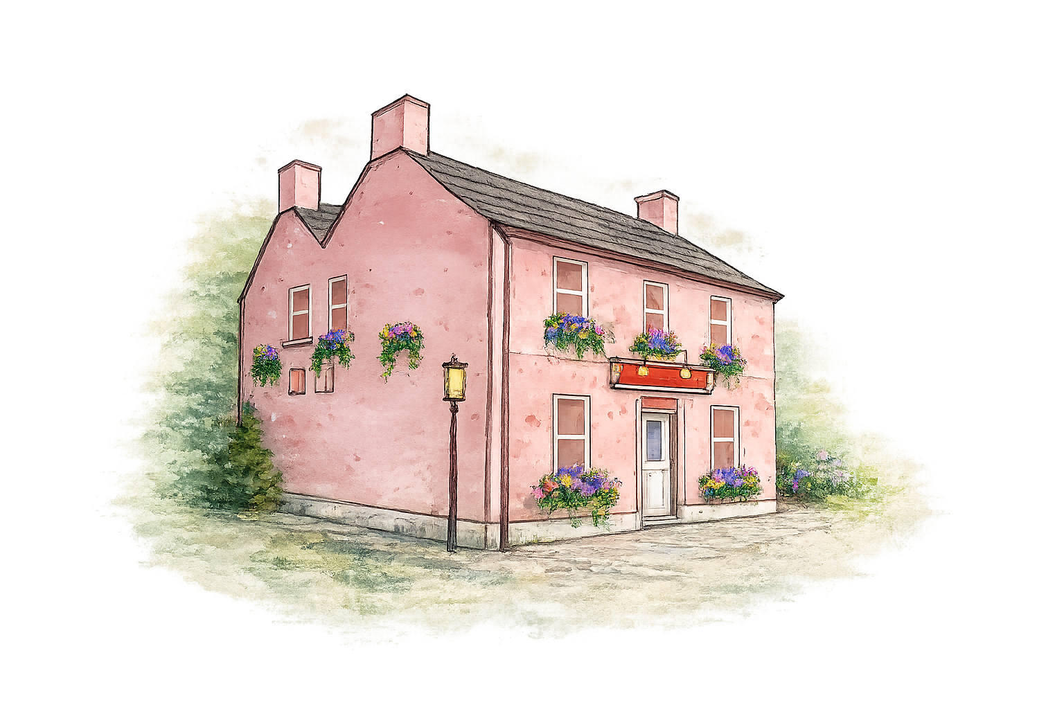
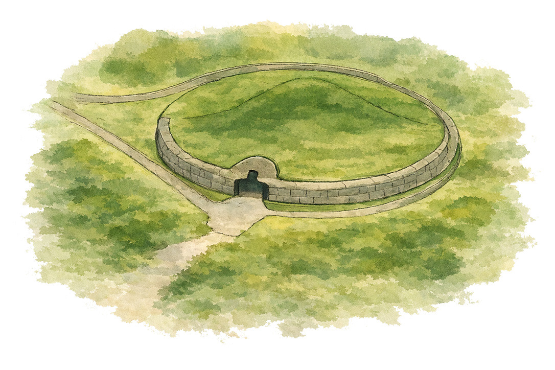
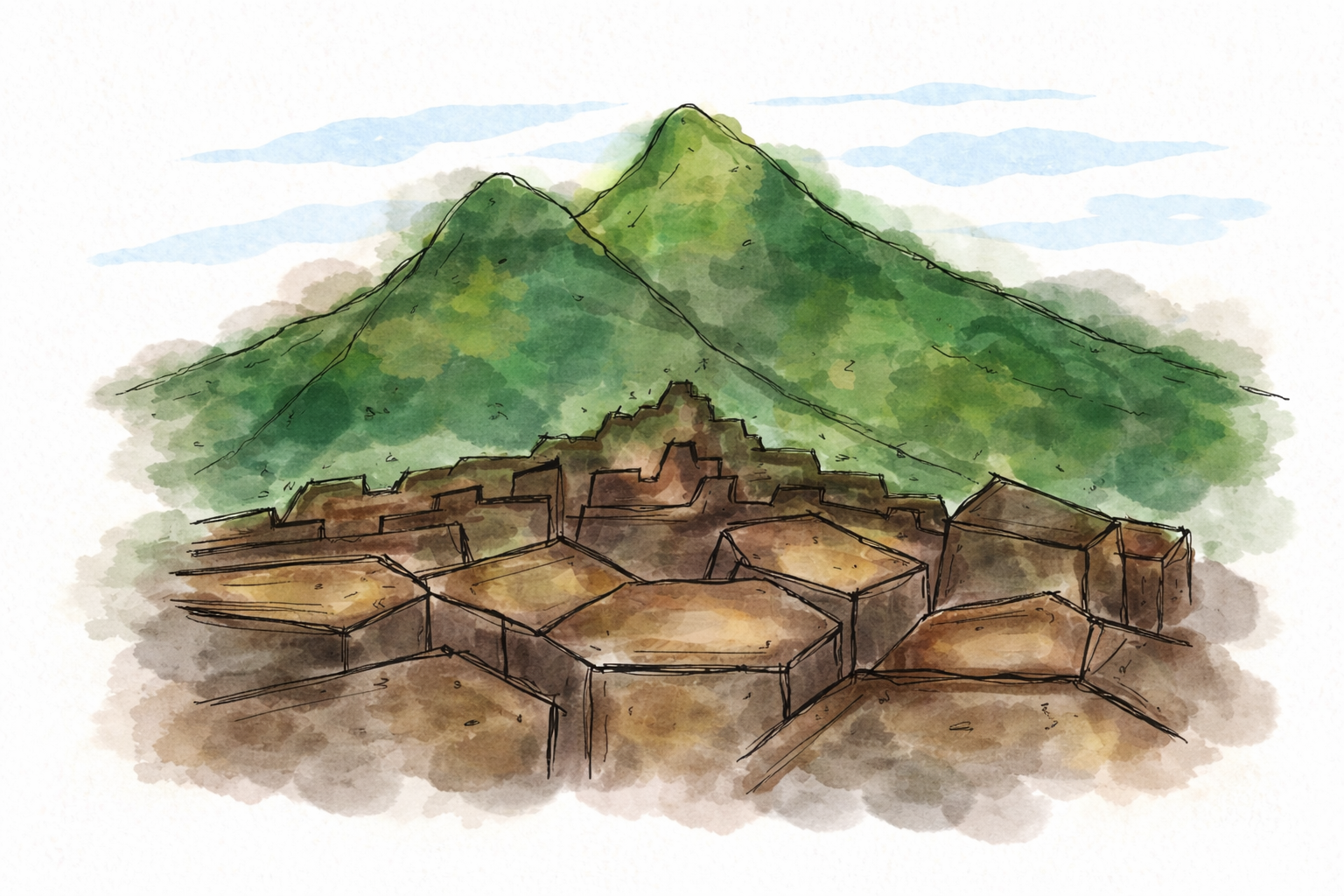
This project is a custom watercolor illustrated map designed for a wedding website, created to guide guests through the wedding weekend locations while building an emotional and narrative connection to the place.
The concept required more than decorative illustration. Each location was translated into a hand-painted architectural element, carefully positioned within a cohesive map composition. The goal was to combine clarity, orientation, and atmosphere—allowing viewers to intuitively understand distances, relationships between places, and the overall landscape of the event.
My background in architecture informed the spatial logic, proportions, and placement of buildings, while my illustration practice shaped the watercolor textures, color harmony, and emotional tone. The result sits at the intersection of architectural mapping and illustrative storytelling, balancing precision with softness.
This project reflects my approach to illustration as a narrative tool—where maps are not only functional, but experiential. The final artwork was optimized for digital use, ensuring readability and visual continuity across web formats.
Disciplines combined:
Architectural illustration · Watercolor illustration · Map design · Visual storytelling